


Complete blast analysis, volumetrics, dilution control, grade stability, and blast hole location for open pit operations can all be modeled and analyzed using ILRIS-3D and its associated software.
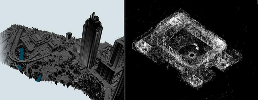
ILRIS-3D offers quick conversion of scan data to CAD plan/elevation take-offs, facilitating rapid planning. All features such as utility location, road centerline and curb extents are accurately and completely located.
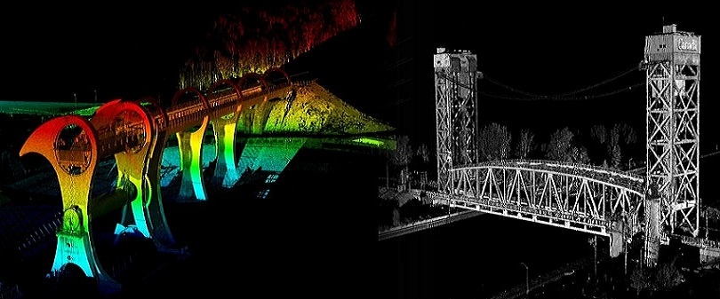
Continuously monitor hundreds of control points on any engineered structure.
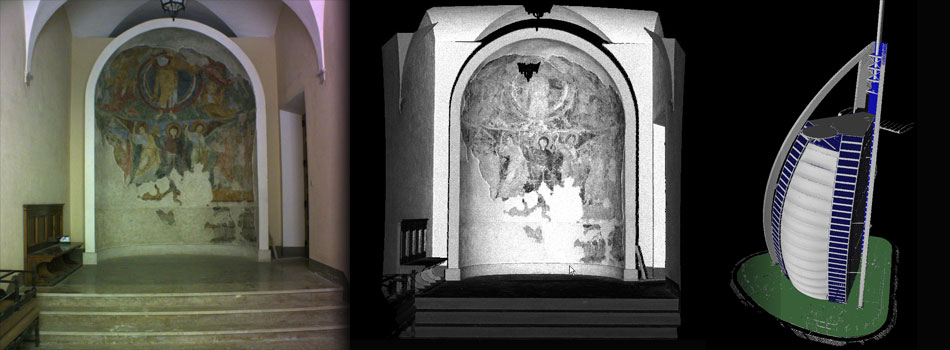
A wealth of information on historical edifices can be directly digitized, where range and accuracy limitations previously made this impossible or impractical. Millimetrically accurate polygonal models are rendered and exported in a variety of formats.

Thanks to its dynamic range, ILRIS can completely scan large structures rapidly, efficiently, and in high detail.
Police organizations and surveyors require quick, accurate and efficient on-site data collection at accident locations and crime scenes. ILRIS is ideally suited for data collection projects of this sor
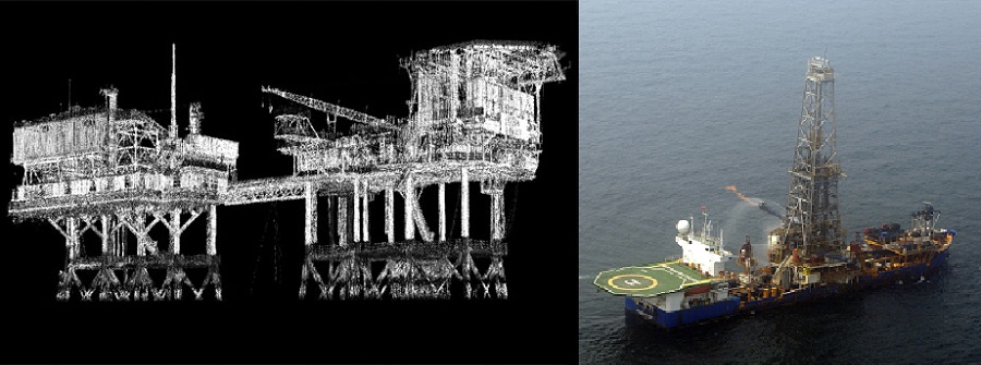
ILRIS-3D data is used directly within a number of dedicated plant-as-built software applications, to facilitate critical clash detection between pipe and steel, to ensure accurate nozzle placement for vessel retrofits, and for a host of other applications.


